DESCRIPTION
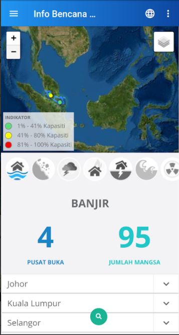
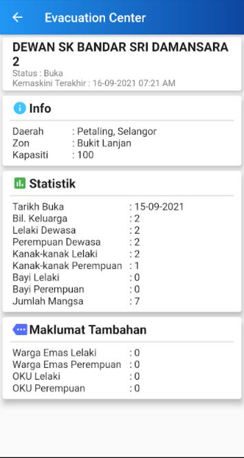
This app, has been designed to get information as the disaster relief centres, evacuation centre and flood level nearby in every area, road cloaed due to flooding, updated the water level of the river, capacity and capacity during a session in any evacuation centers. Others, the distance transfer center nearest and maps and direction to the nearest evacuation center. And also, give information statistics victims, map helipad, help flood victims and store facility.
INFORMATION FOR ANDROID
| Updated | Size | Current Version | Requires Android |
|---|---|---|---|
| September 17 2021 | 9.0 MB | 3.3.12.06 | 4.4 keatas |
DOWNLOAD